National-format soil and land attributes
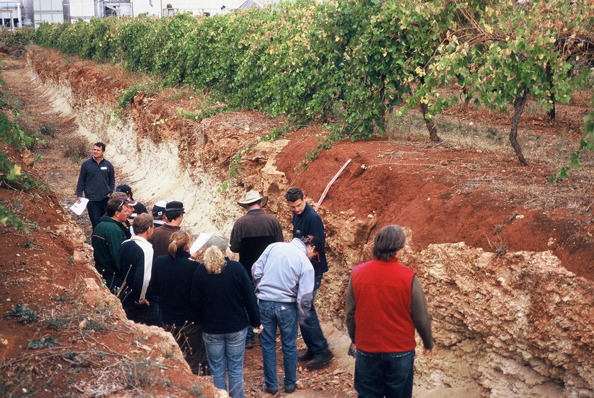
National-format soil and land attributes describe regionally relevant soil profiles. These are based on the SA-format ‘subgroup soil’ types, but are further differentiated according to each land system (resulting in a much larger number of soil variants being described). Information is available for (i) five layers corresponding to increasing depth down the soil profile, and (ii) additional soil and landscape summary characteristics.
National-format attribute datasets have been developed by the department's Soil and Land Program to provide nationally consistent mapping of soil and land attributes for use in landscape assessments and modelling. These are based on national criteria (McKenzie et al. 2012) developed by the National Committee on Soil and Terrain. They form part of the Australian Soil Resource Information System (ASRIS) and can be viewed at www.asris.csiro.au.
Quantitative and semi-quantitative estimates of conditions associated with the following soil and land attributes have been developed for each soil component area (subgroup soil variant) of each soil landscape map unit.
Soil profile attributes (for five layers)
- soil texture (eg sand, loam, sandy loam)
- clay content (%)
- coarse fragment content (%)
- bulk density (t/m3)
- soil pH (in 1:5 CaCl2 solution)
- soil organic carbon (%)
- layer thickness
- field capacity volumetric water content (based on estimates for matrix suction of 10kPa)
- wilting point volumetric water content (based on estimates for matrix suction of 1500kPa)
- discount factor (for calculating available waterholding capacity)
- plant-available waterholding capacity (PAWC)
- saturated hydraulic conductivity (Ksat, mm/hr)
- electrical conductivity (EC, dS/m for a 1:5 soil: water extract)
- soil aggregate stability
- water repellence class
- exchangeable bases (ie. sum of calcium, magnesium, sodium and potassium ions, cmol(+)/kg)
- cation exchange capacity (CEC, cmol(+)/kg)
- exchangeable sodium percentage (ESP).
Other soil and landscape attributes
- Australian Soil Classification (ASC)
- Local soil taxonomic class (associated SA-format subgroup soil)
- landform morphological type (eg crest, flat, lower-slope)
- landform element (eg dune, swale, plain, drainage depression)
- slope class (average % slope of the land facet)
- drainage class
- rock outcrop (%)
- surface coarse fragments – gravels, cobbles, stones, boulders, large boulders (%)
- microrelief
- layer thicknesses and depths:
- surface soil thickness (A1, A horizons)
- upper subsoil depth (to B2 horizon)
- depth of regolith
- depth and type of impeding layer:
- for annual crops and pastures (eg wheat, barley, canola)
- for perennial pastures (eg lucerne)
- for perennial native vegetation (eg trees and shrubs)
- substrate type
- substrate permeability.


