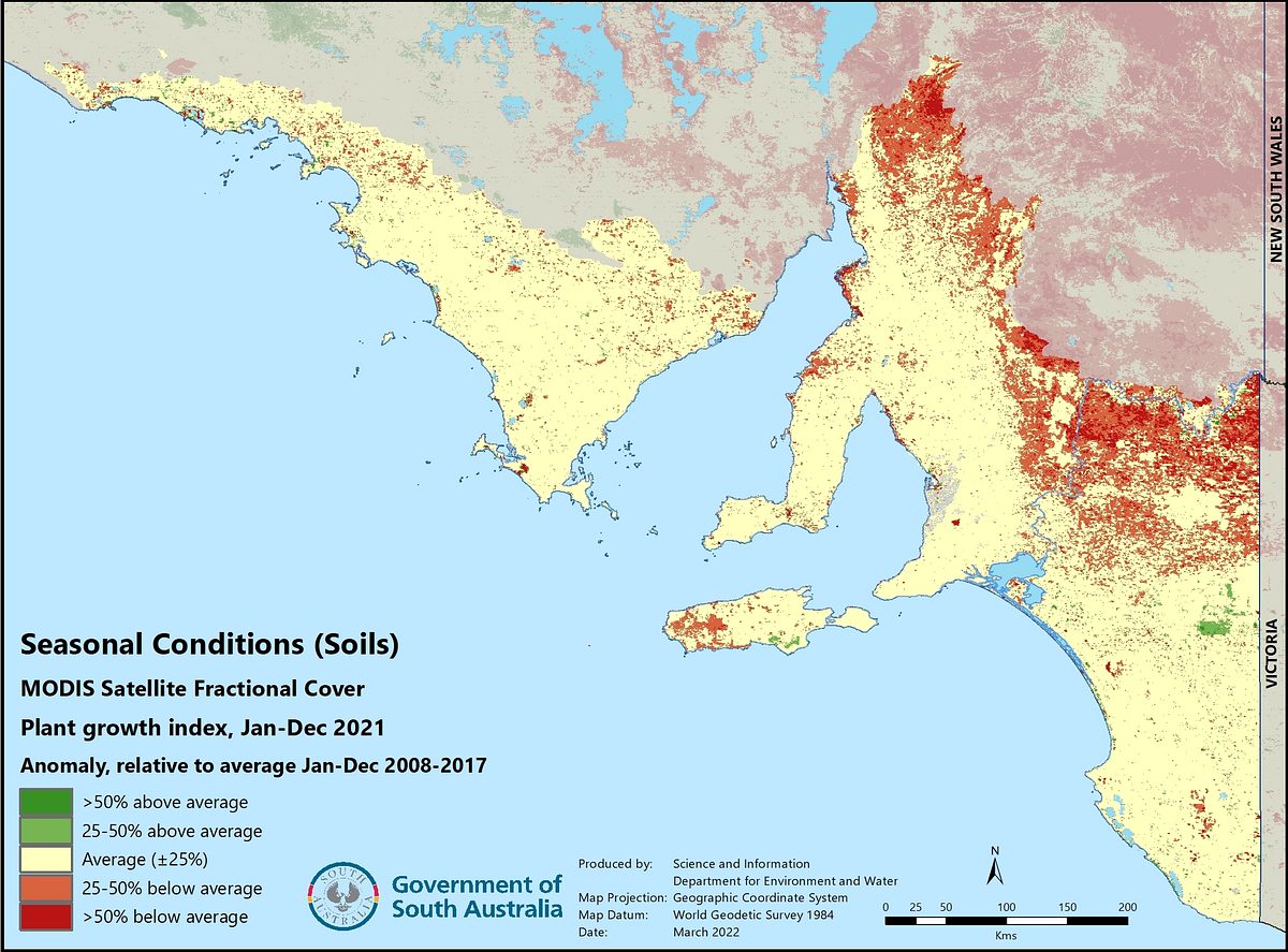
Satellite monitoring of seasonal conditions
Soil erosion monitoring has only been conducted in the cropping regions of South Australia however, MODIS Fractional Cover monthly data can also be used to monitor relative plant growth and percentage bare soil (i.e. inverse of percentage groundcover) in the northern (rangelands) areas of the state as well as the agricultural zone. The photosynthetic ‘green’ fractional data is used to estimate average plant growth, and the ‘bare soil’ fraction to estimate relative percentage of bare soil. In the agricultural zone, the ‘year to date’ plant growth average (or bare soil average) in the current year is compared to the average for a representative previous long term period (2008 – 2017) to show the difference, or ‘anomaly’.
For northern areas of the state, the current 12 month period to date is compared to the long term average. This analysis helps show how plant growth (or percentage bare soil) is tracking in the current season compared to average, depending on rainfall and other seasonal conditions, and how this is impacting on soil erosion protection, such as during below average rainfall seasons. Using data from previous years, forecast average plant growth and bare soil anomalies for the end of the current year can also be produced for the agricultural zone.


