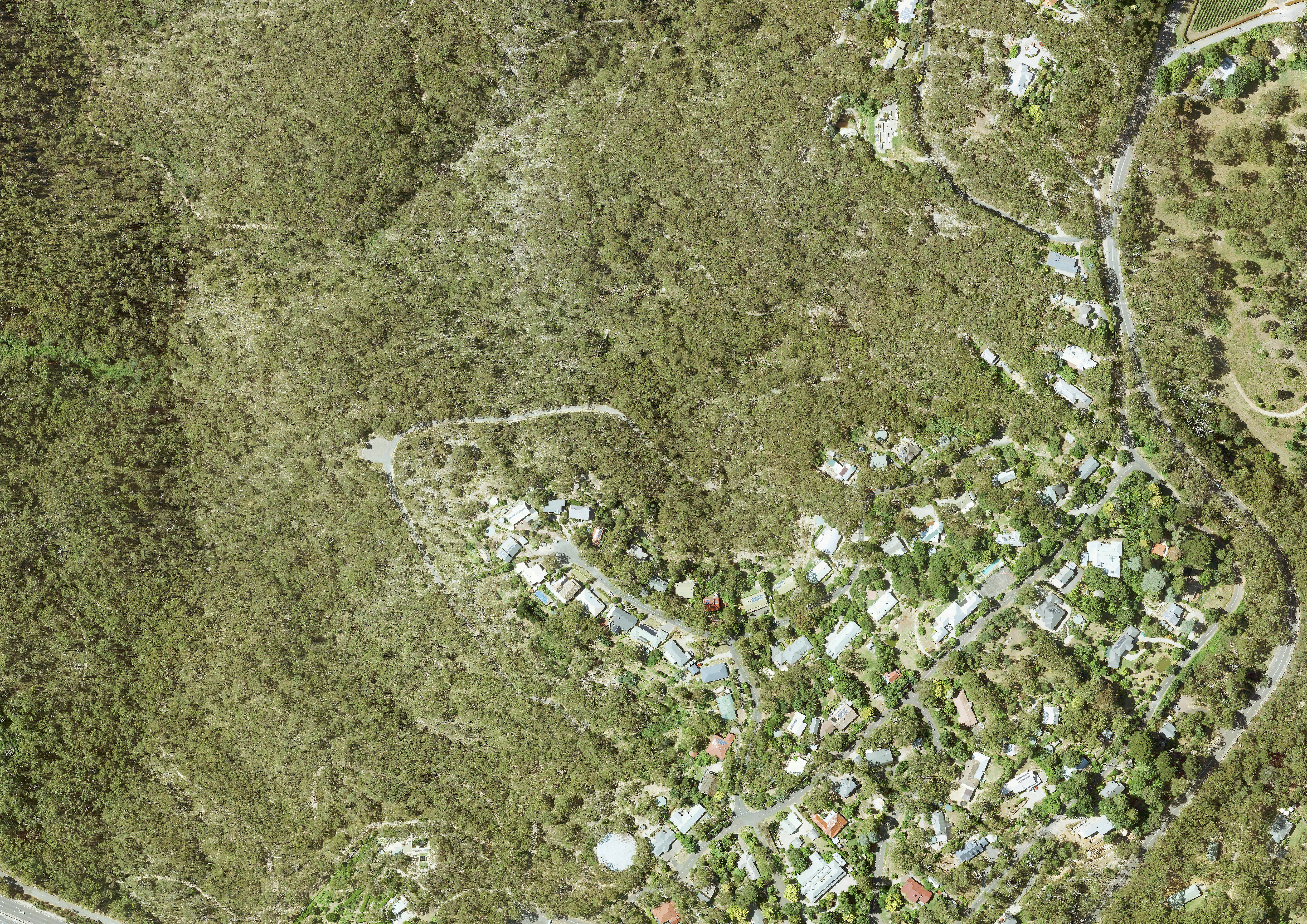
Redeveloping NPWS fire management plans across the Adelaide & Mount Lofty Ranges and Fleurieu Peninsula
NPWS has reviewed and redevelop fire management plans across the Adelaide and Mount Lofty Ranges and Fleurieu Peninsula.
Two new plans were drafted for all land managed by the Department for Environment and Water (DEW) in these areas. These plans will replace 5 existing NPWS fire management plans: the Hills Face Zone, Onkaparinga Valley, Southern Foothills, South Para Collaborative and South-Western Fleurieu Peninsula.
Consultation has now closed
DEW engaged with key stakeholders and the public to develop these NPWS fire management plans.
In addition to public consultation, stakeholders within DEW were engaged with (fire management officers, park rangers, ecologists), along with external stakeholders which included, but was not limited to, bushfire management committees (BMCs), Country Fire Service (CFS), First Nations, local councils, Green Adelaide, Landscapes Hills and Fleurieu, and environmental peak bodies.
NPWS also engaged with other state government land mangers (SA Water and ForestrySA) to ensure that effective and appropriate strategies are developed where boundaries are shared.
Using the latest science with local knowledge
Draft NPWS fire management plans were developed using the latest fire science, knowledge, and computer-based tools to make them more effective and in line with national best practice.
To assess bushfire risk and develop appropriate strategies, NPWS used a number of datasets, models and tools including:
- Adelaide and Mount Lofty Ranges and Fleurieu Bushfire Management Committee bushfire management area plans – identify bushfire risks to assets (e.g. Residential, economic, heritage).
- Phoenix RapidFire – simulates thousands of bushfire scenarios across the landscape to determine the highest risk locations.
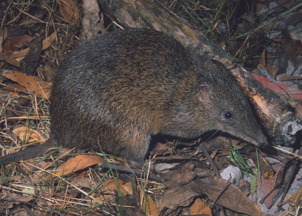
- DEW Dynamic Fire and Biodiversity model – uses fire history data with fire-dependent threatened animal species’ habitat requirements, to identify where to focus prescribed burns to maintain optimal habitat.
- Ecological fire management guidelines – provides guidance on fire regimes in native vegetation to best maintain and enhance biodiversity.
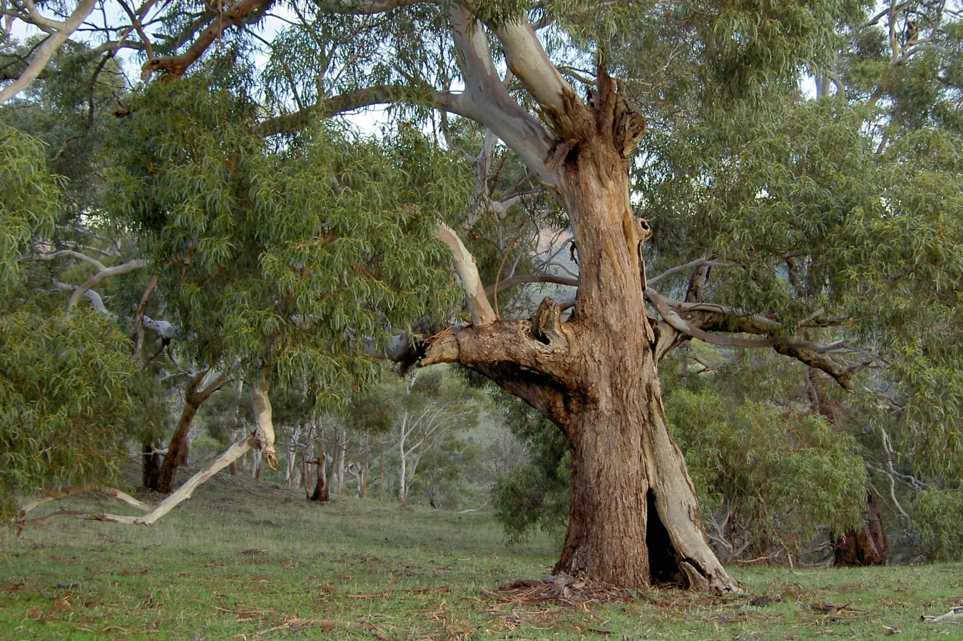
This information, along with input from subject matter experts and local stakeholders, enabled draft plans to be developed which best met the objectives of fire management (reduce bushfire fuel, manage native vegetation and protect biodiversity) across a range of values and assets (life, property, social, cultural, economic and environmental).
| Development progress | |
|---|---|
| Planning stages | Status |
| Stage 1 – Data gathering and review of plans Review existing plans, consult with key stakeholders and gather data | Ongoing |
| Stage 2 – Develop draft plans Informed by feedback from consultation, local knowledge, learnings and new data | Completed |
| Stage 3 - Public consultation on the draft plans | Completed |
| Stage 4 – Review and finalise the plans Feedback is reviewed, a summary of submissions report is prepared. Changes to the draft plans will be made where appropriate. | Ongoing |
| Stage 5 – Approval of the plans Formal approval of the final plans. |
Contact us
Please get in touch with us if you’d like more information.

Image gallery