Past Gawler River flood management projects
In response to the 2016 Gawler River flood event, the South Australian government invested $9 million between 2020 to 2023 in 4 projects to manage flood risks for the region. These projects included:
Project 1: Removal of weeds and fallen trees to reduce the likelihood of blockages in the river channel
The Department for Environment and Water (DEW) worked with landholders and councils along the Gawler River to:
- Raise awareness of the importance of well-maintained levees.
- Assess and improve the condition of levees.
- Develop pilot arrangements for council to manage levees on private land.
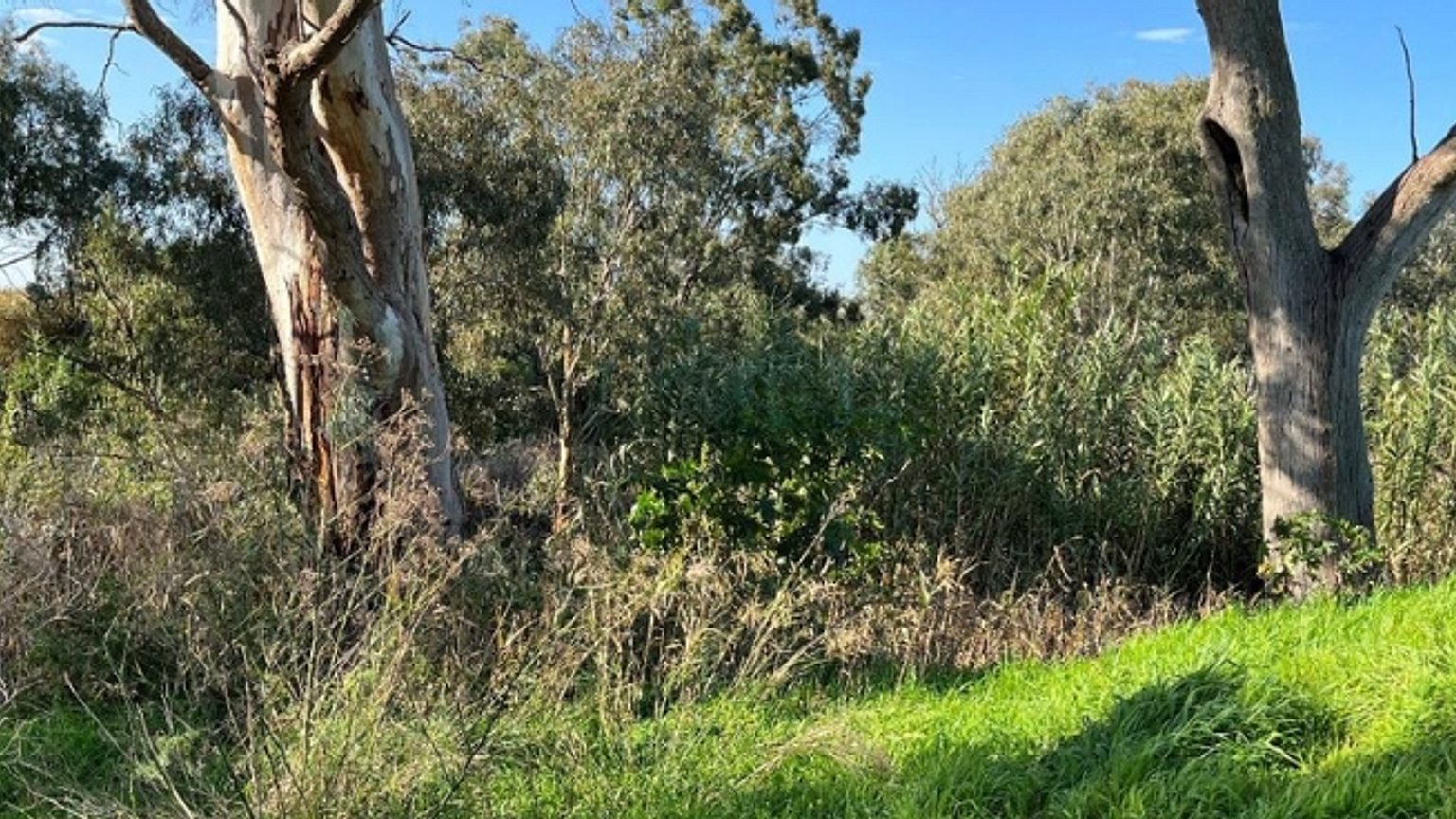
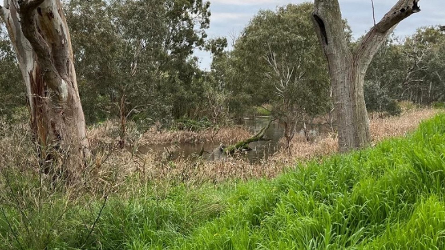
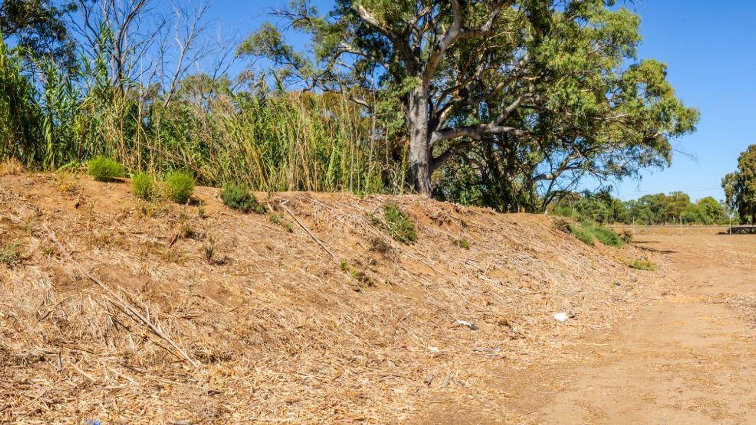
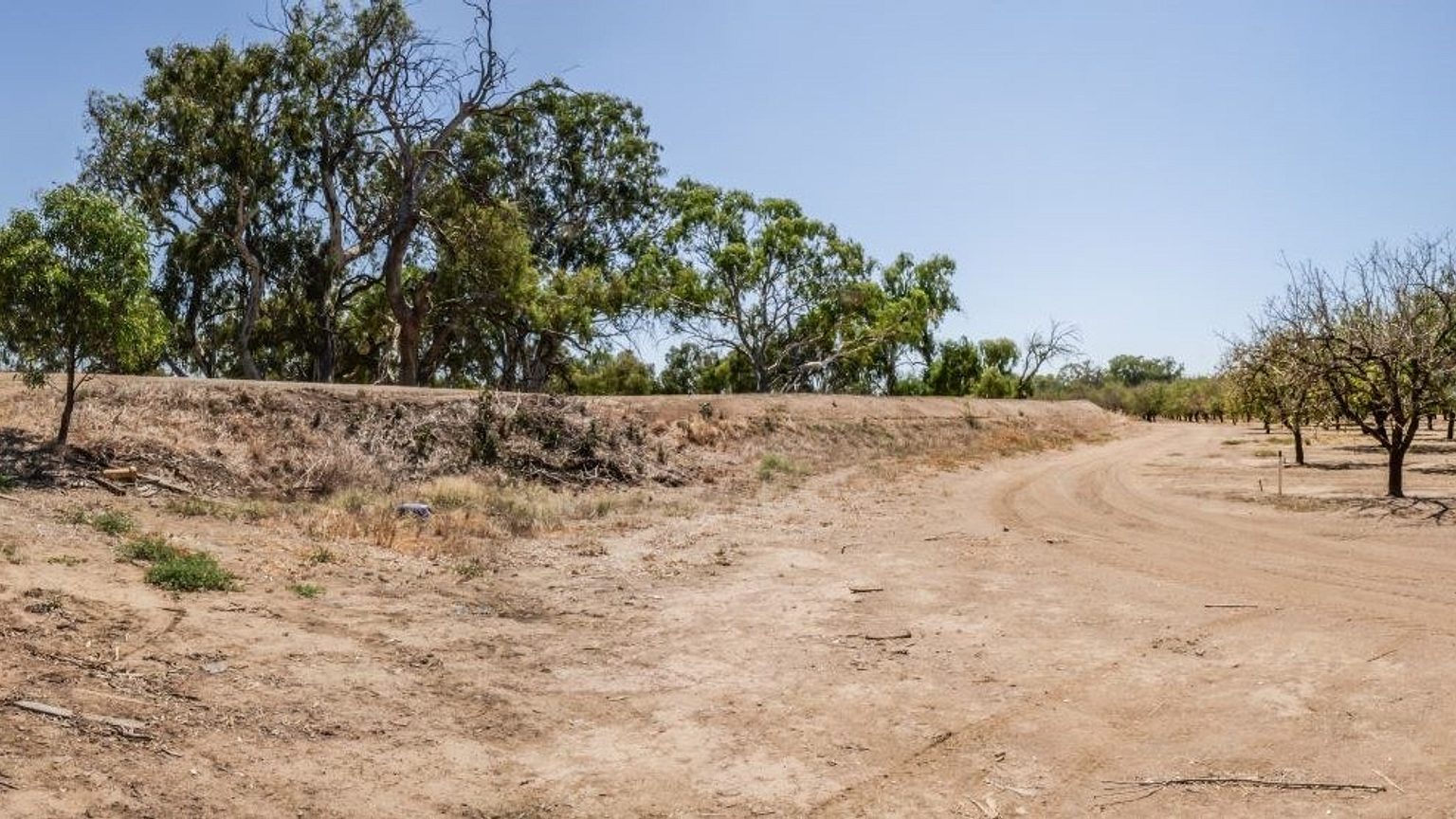
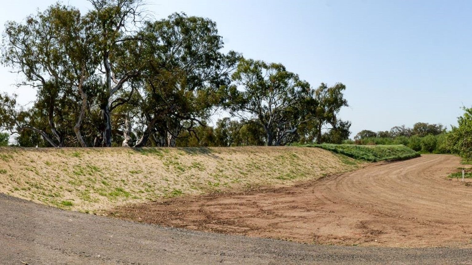
6 properties received complimentary vegetation management works where weeds and fallen trees were removed from the levees. This increased flow capacity and provided access for future maintenance.
Project 2: Development of an open drain with works to be completed by local government
The department worked with the City of Playford to develop plans for an open drain along Carmelo and Park Roads. Construction work will be completed by the council with funding from the state government and support from the Stormwater Management Authority.
The open drain will allow for water to drain away more quickly through the existing Virginia township during the majority of rain events.

Project 3: Improved flood forecasting and warning via new and improved monitoring systems
This project focused on strengthening flood forecasting and response capabilities in the Gawler River Catchment by:
- Identifying the best design for a flood forecasting and warning network in the catchment.
- Upgrading key parts of the flood monitoring network.
- Developing and updating theoretical rating curves at key monitoring sites.
- Bringing together data and information into a user-friendly, accessible format.
A major component of the project has been to upgrade water monitoring sites in the Gawler River flood warning network. 10 of the 11 targeted sites have been successfully upgraded. DEW is continuing to work with the Bureau of Meteorology to install the final monitoring equipment at the Gawler West site.

Project 4: River survey, levee repair and vegetation management to improve the river’s capacity to carry water
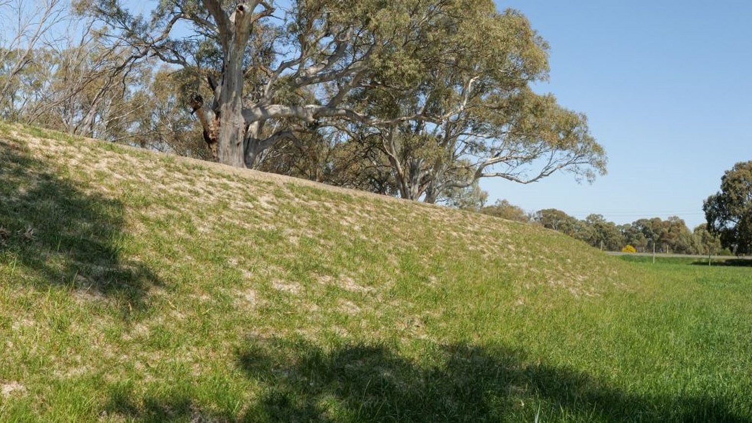
The department successfully repaired sections of priority levees along the Gawler River. This pilot initiative delivered on-ground restoration works across 400 metres of levees at two key sites:
- The north side of the river near Old Port Wakefield Road.
- The south side of the river involving multiple private properties.
The project delivered essential repairs and established an approach for future levee and watercourse management, including the need for strong engagement with landholders and local councils. It also set a foundation for future restoration efforts, guiding work on access agreements, heritage surveys, vegetation mapping, and levee condition assessments.
The levee repair project has been transitioned into the state and Australian Government funded Improving levee management project.


