Bookmark Creek Complex
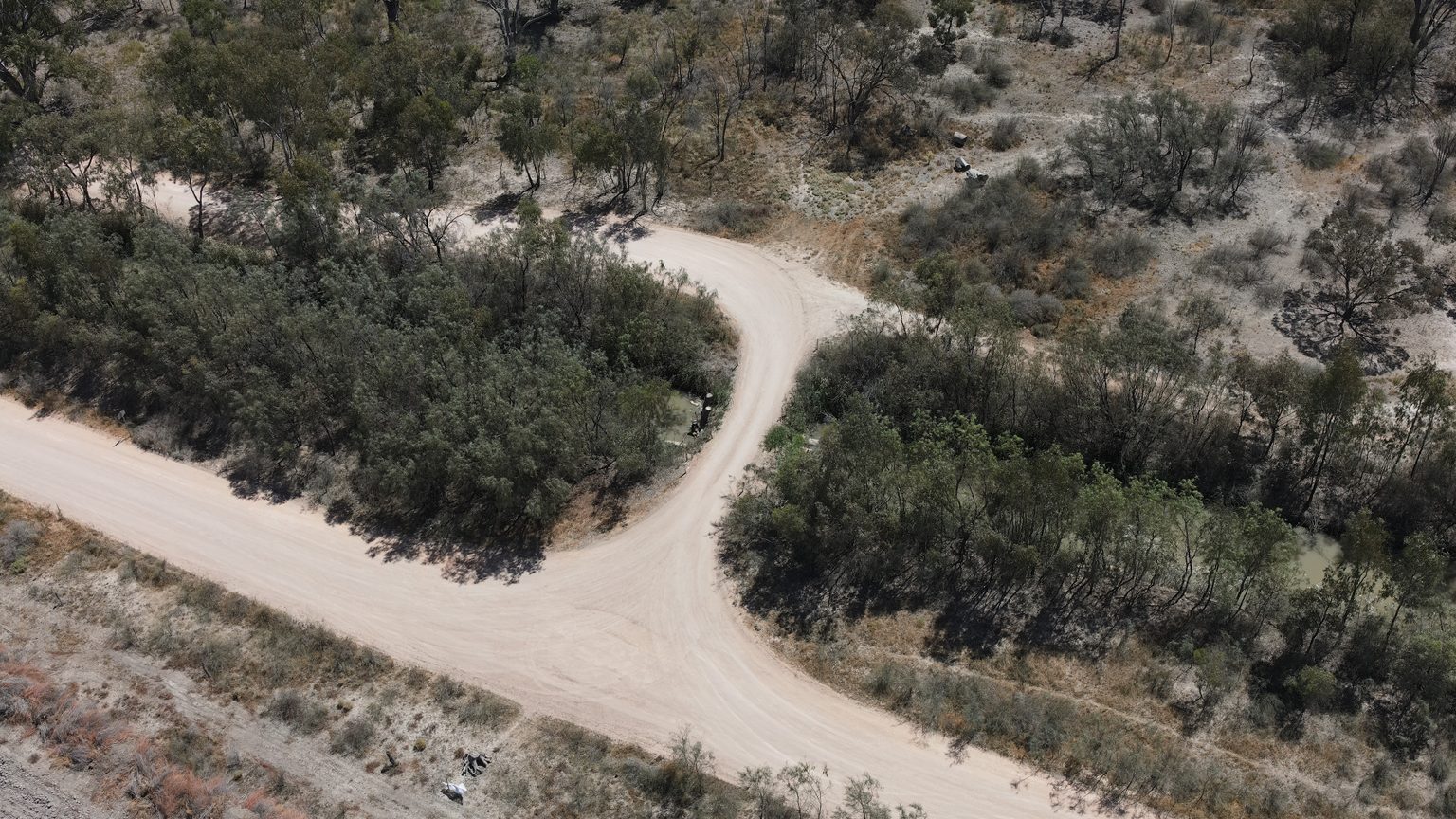
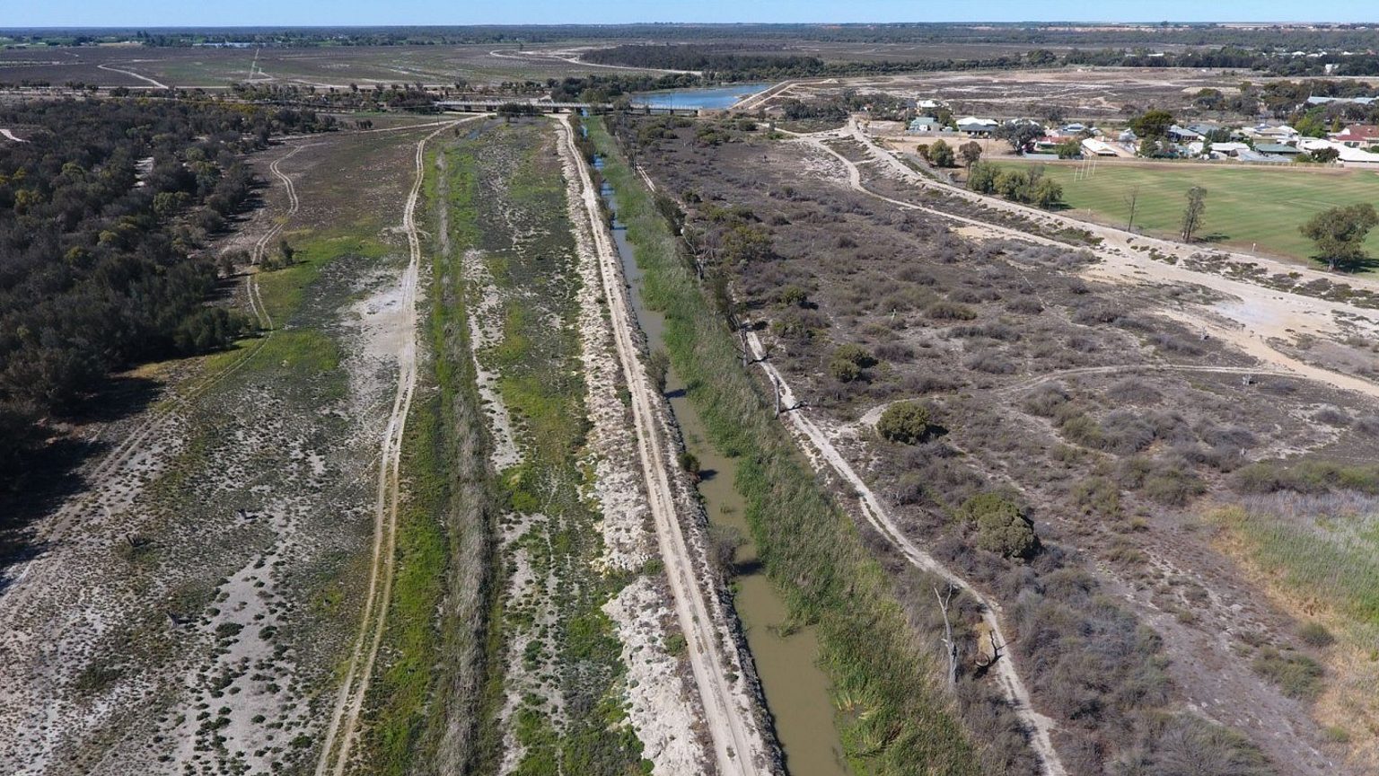
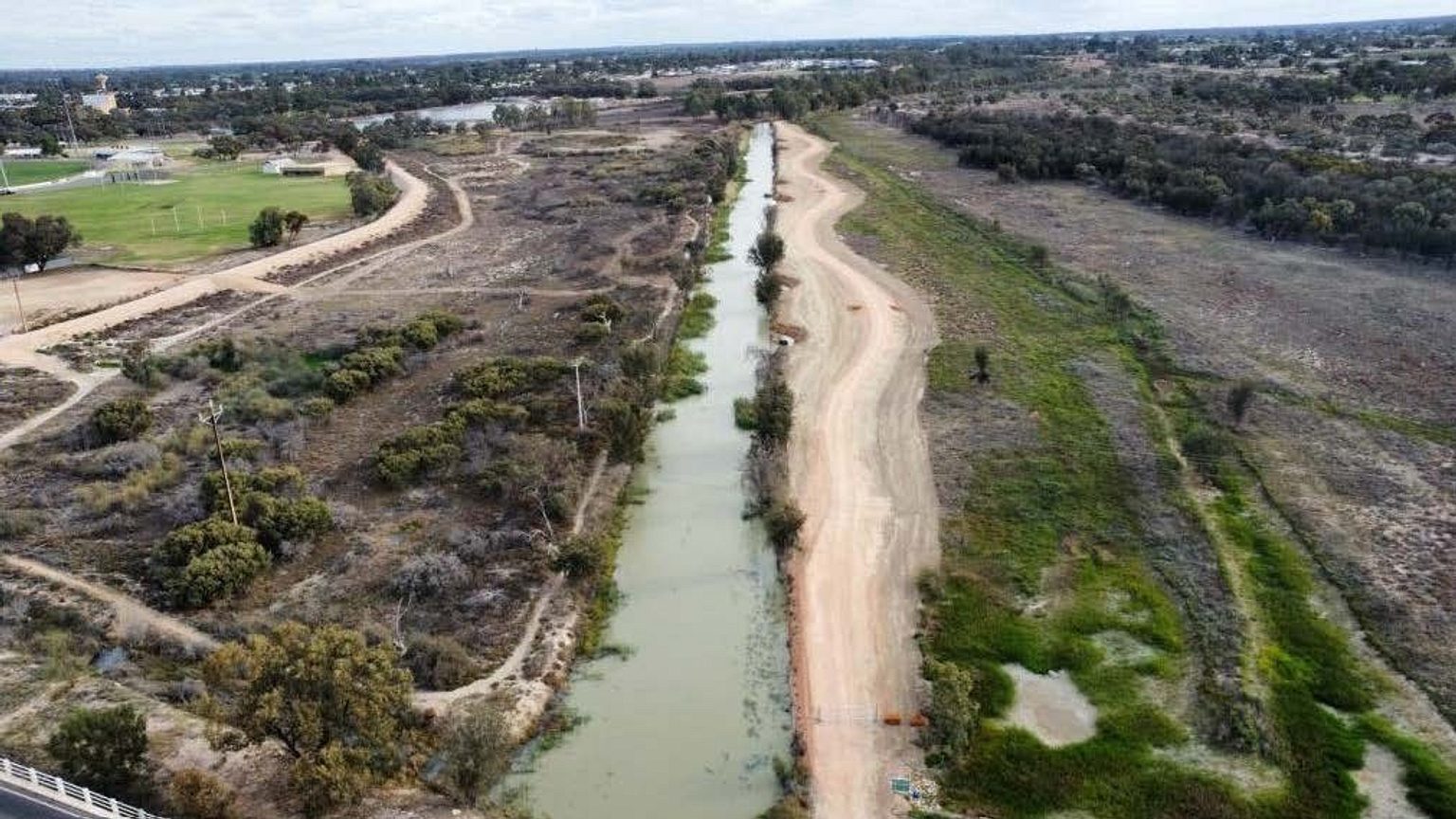
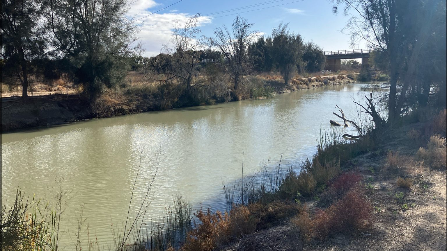
Located around Renmark, Bookmark Creek is an 8 km anabranch that bypasses Lock 5, along with 13 km of the River Murray main channel in South Australia. The First People of the River Murray and Mallee Region are the Traditional Owners of the Bookmark Creek region, with the presence of Aboriginal cultural heritage providing tangible links to both ancestors and Country.
Originally a natural creek depression that flowed during periods of high river flows, Bookmark Creek underwent significant changes instigated by European colonization, which brought with it development of the first Australian irrigation district in the late 1880s. This was followed by construction of Lock 5 in 1927 which following construction, resulted in permanent inundation at the inlet. These changes meant the creek was used as a reservoir to supply irrigation water, then later as an irrigation disposal basin.
The combination of these factors has had adverse impacts on the ecological values of the site and contributed to environmental degradation of the landscape over time.
Following a holistic ecological and hydrological assessment undertaken with continued stakeholder engagement, possible infrastructure and management solutions have been identified. These have been considered in the context of other opportunities emerging in the region which forms the Sustaining Riverland Environments program (SRE).
SRE Bookmark Creek project
As one of the 3 identified sites under the $37.6 million Sustaining Riverland Environments (SRE) program, the Bookmark Creek project focuses on reinstating natural habitat conditions in the Bookmark Creek Complex.
The Bookmark Creek project aims to contribute environmental, social, cultural and economic benefits to support the growth and wellbeing of the community. It offers a unique opportunity to create high-value, fast-flowing habitat conditions within the creek, which are important for a number of large-bodied native fish species. It will also improve fish passage through the creek by addressing numerous structures that currently impede fish movement along the creek.
Importantly, the broader complex (encompassing areas from the Ral Ral Floodplain to Disher Creek, including wetlands along the creek and surrounding floodplain) has extremely high social and recreational value to the regional community. Support for the project from local industry, key stakeholders and landholders, as well as some active and well-established community groups, provides a strong foundation for future works in the area.
Project progress
- Removal of the upstream and downstream temporary coffer dams,
- Backfilling of the bypass channel.
- Place and compact the left abutment pavement.
- Complete installation of the handrails/balustrades.
- Completed the operator training with AWMA and DEW.
- Signage installation.
- Fully demobilised the site compound & clean-up of the laydown area.
- Completed the pavement works, gates, signage and rock barrier placement.
- Construction completed.
- Minor post-completion tasks in progress during October.
Scalloping work (western bank)
- Finalised pavement construction.
Track has re-opened to the general public (no vehicle access).
Still to be completed
- Interpretive signage installation.
- First operations testing.
- Re-vegetation at in-stream habitat site.
- All rock protection works were completed.
- The commissioning and leak tests of the AWMA equipment was performed.
- Other metal elements installed this month, by Ruston Engineering, were the two anchor piles, fishway grating, the original handrail/balustrade scope.
- Pavement completed at the right abutment.
- Demobilised the dewatering system and the site compound.
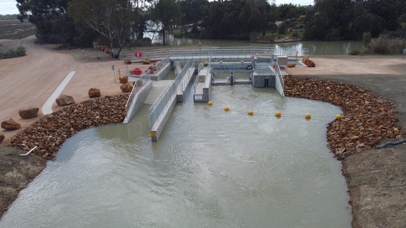
- The FRP (formwork reinforcing and pouring) operations for the regulator structure is complete, with the canoe ramps/walls and the pedestrian bridge deck poured.
- The backfill operations continued, with minor backfilling and the placement of rip-rip at both the upstream and downstream ends nearing completion.
- Preliminary commissioning of the AWMA equipment, including the lay-flat gates, the canoe passage drop-boards and the fishway dewatering panels.
Metal elements installed by subcontractor, including the aluminium fishway baffles, the vertical canoe passage baffles, and the pedestrian bridge.
Scalloping work (western bank)
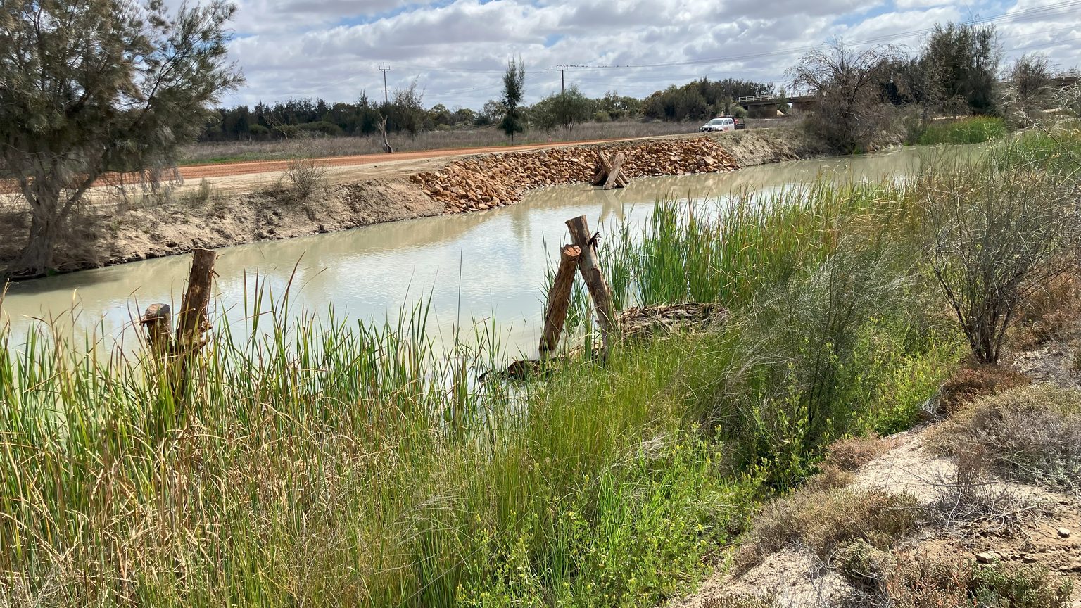
- Instream Habitat Works were awarded under a contract variation which involves constructing a low-level bund circa 520m long.
- Works to continue throughout August.
- The instream habitat works are progressing well with the construction of bund completed, except the pavement layer which will be the final activity to occur. The scallops are also complete, with all excavation, rock work and snags installed.
- Snag install complete on both sides of creek.
- FRP (Formwork reinforcing and pouring) operations continuing, with all base slabs poured.
- Left abutment wall, fishway walls, pedestrian bridge central, left and right pier walls, central walkway section 1 & 2 and right abutment wingwall footings have also been poured. All main walls were completed in June.
- Layflat gates, fishway dewatering panel and canoe passage stop board installation and dry commissioning is complete. Preliminary wet commissioning is planned for early/mid July with final commissioning anticipated in early August.
- Backfilling commenced at the start of May 2025.
- Dewatering at the inlet / regulator site has decreased due to the progress of works and stabilisation of the groundwater in the construction zone.
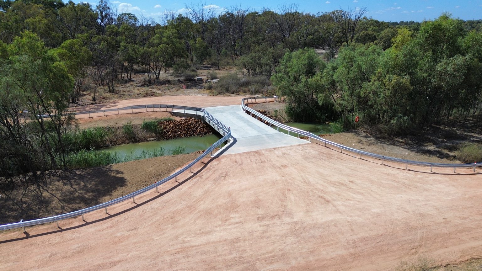
- Nelwart Street Bridge completed and opened to the public 4 April 2025.
- All wingwalls, base slabs and approach slabs completed at Nelwart Street Bridge. All backfilling and pavement works completed. Guardrail and signage installed.
- Reworking of the temporary flow bypass at the inlet regulator to increase the flow rate. Additional pumps were mobilised to maintain the flow during the reworks.
- Commissioning and operation of the dewatering system at the inlet regulator. Groundwater lowered to approximately 7.5m below natural surface level to enable commencement of regulator construction.
- Completion of bulk excavation, piling pad and sheet pile trench completed at the inlet regulator.
- Installation of sheet piles at the inlet regulator.
- Mobilisation of the concrete subcontractor mobilised to site and poured the first blinding at the regulator and bridge sites.
- Extension of previously constructed crane pad at Nelwart Street was extended to accommodate the 100 tonne crane to set up according to required radius.
- Installation of precast bridge headstocks, and planks were installed in February at the Nelwart Street Bridge.
- Bridge abutments excavated and the blinding poured, ready for steel fixing of the base slabs to commence in the first week of March.
- Daily water quality testing upstream and downstream of the inlet regulator site.
- Construction of a temporary bypass drain around the inlet regulator site to maintain minimum environmental flows through the creek during construction.
- Placement of cofferdams at both the inlet regulator and Nelwart Street bridge to enable dewatering of the construction zones.
- Decommissioning of the existing inlet regulator.
- Removal of the existing Nelwart Street road embankment and pipes.
- Installation of rock armouring at Nelwart Street.
- Installation of six reinforced concrete driven piles for bridge footings at Nelwart Street bridge.
- Removal of cofferdams at Nelwart Street bridge.
- Installation and pre-commissioning of the dewatering system at the inlet regulator, comprising 88, 6 metre deep dewatering spears.
Extensive consultation has been undertaken with key stakeholders, including:
- September 2021: Workshop 1 – Outcomes and design basis
- October 2021: Workshop 2 – Design options presented
- November 2021: Workshop 3 – Design refinement session
- February 2022: Workshop 4 – Presentation of 70% designs
- July 2022: Workshop 5 – Presentation of 90% designs and Wetland Management Plan
In workshop 4 and 5, detailed designs were unveiled and endorsed and included:
- 3D modelling of the Jane Eliza inlet regulator and Nelwart Street Bridge, and sections of creek designated for ‘re-snagging’ to provide vital woody habitat for native fish, such as the Murray cod.
On-ground works summary
Bookmark Creek project works include:
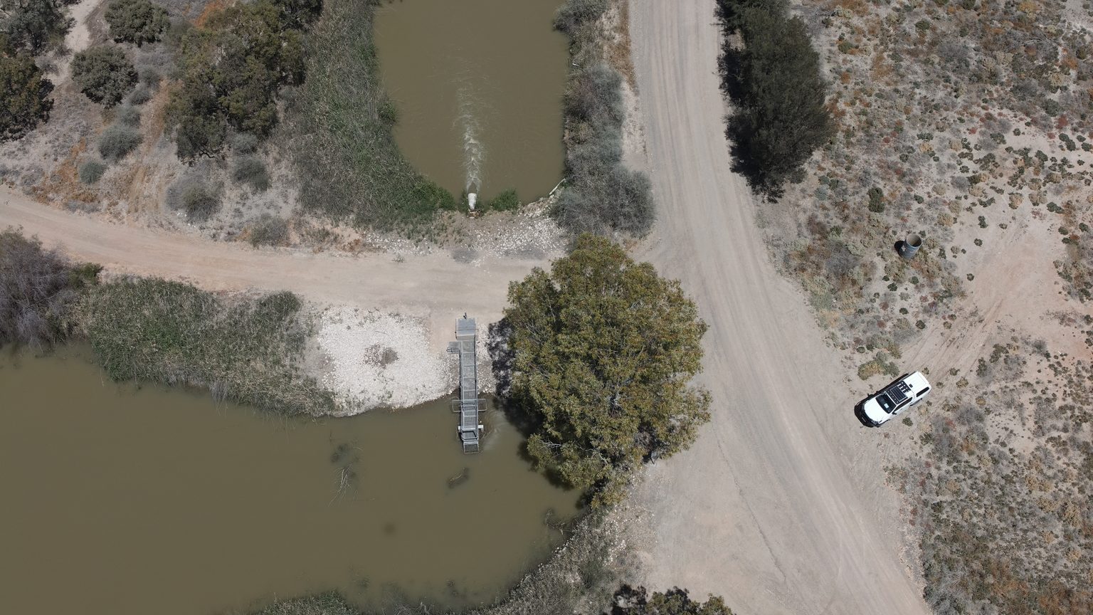
- construction of an inlet regulator adjacent Jane Eliza Estate
- construction of a bridge at Nelwart Street and Twentysixth Street, replacing 2 pipe structures on Bookmark Creek with new infrastructure that can substantially increase the flow of water down the creek - Completed
- incorporating fish-friendly infrastructure to reinstate connectivity between Lock 4 and Lock 5 weir pools.
- reinstate a more natural creek morphology and large woody habitat for native fish
- upgrade infrastructure at managed wetland sites adjacent to the creek to improve their function and integrate their operations with weir pool manipulation and high flows.
These works will enable the following environmental outcomes:
- improved fast flowing habitat for large bodied native fish
- enhanced environmental outcomes from increased hydraulic diversity and connectivity for fish
- enhanced social, economic and recreational benefits associated with improved connectivity, amenity and condition of high value wetlands/floodplains.
The construction tender for the project was awarded to Fulton Hogan Constructions, with works beginning at both Bookmark Creek inlet regulator and Nelwart Street Bridge sites in late October 2024. Construction of the Nelwart St bridge was completed in early April 2025, and construction of the inlet regulator was completed in October 2025.

More Information
Get involved
We are committed to working with First Nations people, local communities and the broader South Australian community throughout the life of the SRE program.
Subscribe to our email list for updates and SRE engagement opportunities.
Contact us
- Email us at dew.sreprogram@sa.gov.au
- Call the Department for Environment and Water (DEW) on (08) 8204 1910.
Department for Environment and Water (DEW) social media
Resources
SRE project pages
Weir pool manipulation
Other resources
- SA River Murray Flow Report
- Constraints Management Strategy
- Murray-Darling Basin Authority
- Murray-Darling Communities Investment Package
- MDBA Water Recovery Strategy
- South Australian Riverland Floodplains Integrated Infrastructure Program (SARFIIP)
- The Ramsar Convention on Wetlands
The Sustaining Riverland Environments Program is a $37.6 million program funded by the Australian Government through the Murray-Darling Basin Authority and delivered by the Government of South Australia through the Department for Environment and Water.


