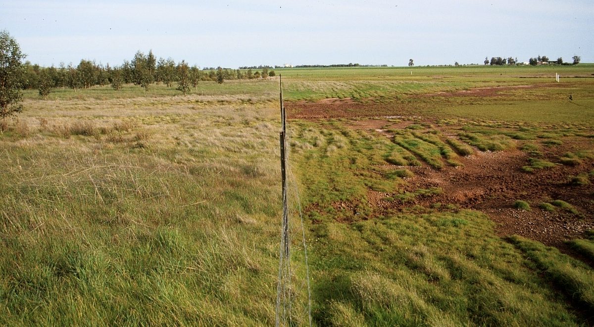
Land salinity
In all agricultural regions, land salinity poses a threat to key assets such as wetlands, native vegetation and high quality agricultural land, as well as to infrastructure such as roads, sewage and buildings. Natural (or primary) salinity can be a feature of some soils and water bodies. However, human-induced (or secondary) salinity can arise where land use and management activities lead to increased intensity or extent of salinity in the landscape.
Land salinity occurs when there is an excess of salts in the soil or plant rootzone. Moderate to high levels are toxic to plants, while even moderately low levels can affect production. Land salinity can occur with or without the influence of groundwater.
Types of Salinity
Dryland salinity is the term given to human-induced land salinisation associated with elevated watertables in non-irrigated areas. Historical clearance of native vegetation and replacement with dryland farming (shallow-rooted annual crops and pastures) means that less rainfall is used by plants and this can cause groundwater levels to rise in some situations. Elevated watertables can cause the movement and accumulation of salts towards low-lying areas where discharge of water and salt occurs at or near the soil surface, in plant rootzones, or to adjacent waterways. These changes to the landscape water balance can increase the intensity or extent of land salinisation and/or increase saline groundwater discharge to streams and rivers, including the River Murray.
Similarly, irrigation salinity can occur when excess irrigation water is applied, relative to the crop water use and deep drainage, and rising shallow groundwater brings salts up into the plant rootzone.
Dry saline land represents another type of land salinity that occurs in soils with high levels of naturally occurring salt but is not associated with a shallow watertable. In mild situations, dry saline land can also be referred to as transient salinity, where salts are trapped within the soil profile (e.g., due to low permeability clay subsoil) and salts move up and down (with varying influence on plant rootzones) depending on seasonal conditions. Management actions such as maintaining high levels of ground cover to reduce evaporation and wicking up of moisture and salt can help minimize impacts on plant growth. In extreme cases, where naturally high salt concentrations extend to the soil surface and visibly affect plant growth, these areas of dry saline land are commonly called magnesia ground or magnesia patches.
Extent
Approximately 1.5 million hectares (14%) of cleared agricultural land in SA is affected by some degree of watertable – induced dryland salinity.
The Upper South East is the most severely affected area in the State (approximately 200 000 ha). With the successful completion of the Upper South East Dryland Salinity and Flood Management Program, the drawdown effect associated with the drainage network has reduced the risk of salinity over an estimated area of more than 100 000 ha. This is a reduction of 50% of land affected in the Upper South East.


