Post-flood monitoring flows on to the Coorong
Ecological monitoring to help understand the Coorong’s response to South Australia’s largest flood since 1956, has commenced as part of the Healthy Coorong, Healthy Basin (HCHB) program.

The Department for Environment and Water (DEW) is collaborating with the Goyder Institute for Water Research on the project, which follows similar post-flood monitoring currently concluding upstream at key river and floodplain sites, as well as at the marine environment near the Murray Mouth.
During the 2022-23 River Murray flood event, the Coorong received an average of 72 gigalitres of water per day (GL/day) through the barrages between October 2022 and March 2023, which peaked at approximately 120 GL/day in December 2022. Whilst the peak from the flood event has long since passed, ecosystems can take time to respond to changing conditions.
For the Coorong, an environment that has experienced ecological decline for many decades, the study is a once in a generation opportunity for scientists to observe how the ecosystem responds to a flood event, including changes in nutrients, sediment conditions, and the response of the Coorong food web. Findings from the project will play a key role in informing future management and restoration strategies for the region.
Historically, the River Murray experienced more frequent medium to large-scale floods which served the purpose of ‘flushing’ the Coorong system. Research conducted under the HCHB Scientific Trials and Investigations project found that years of reduced flows and insufficient flushing had left nutrients trapped within the Coorong south lagoon, creating an unhealthy, hyper-eutrophic state (containing high loads of nutrients and organic matter).
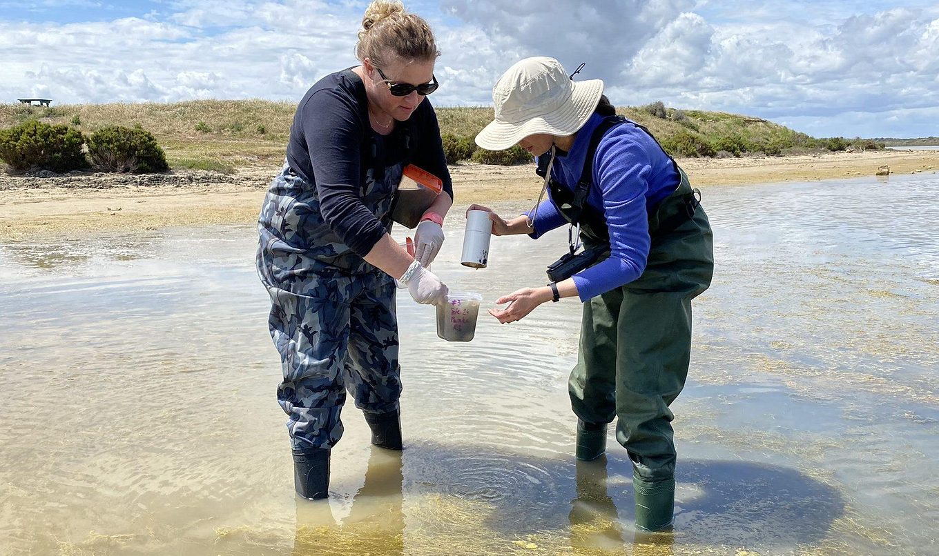
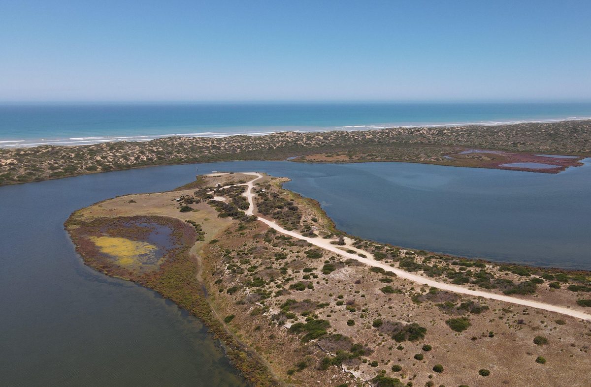
Over the coming months, scientists will gather on-ground data from the Coorong north and south lagoons, and the Murray estuary in order to investigate:
- how nutrients and related conditions in Coorong sediments have changed in response to the 2022-23 flood.
- how the Coorong food web has responded to the flood event, including aquatic plant, fish and macroinvertebrate (e.g. burrowing worms and bivalves) communities.
- how on-ground ecological actions can assist in remediating degraded sediments and restoring Coorong habitats.
To learn more about the role of nutrients, sediments, macroinvertebrates and aquatic plants in the Coorong ecosystem, fact sheets and scientific papers are available on the HCHB Science Publications page. The results and outcomes of this monitoring program will also be made available at the conclusion of the project.
This project is part of the Healthy Coorong, Healthy Basin program, which is jointly funded by the Australian and South Australian Governments.


