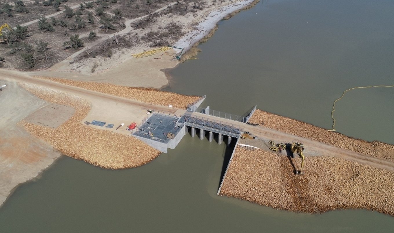
Environmental regulator raised on the Pike River
A new environmental regulator has recently been constructed on the Pike River downstream of the existing Col Col bank and pipe culvert as part of the Pike Floodplain Inundation Measures Project.

The new regulator will have the ability to manage water levels and create watering events which will assist in improving fish habitat within the creek, as well as delivering water for the environment to native vegetation.
Environmental regulators act like a gate, so in this instance the ‘gate’ will be closed to allow water to build up behind it between the regulator and the Col Col bank. Once the new level is reached, the old bank will be removed.
Manager of Infrastructure Operations with the Department for Environment and Water, Richard Brown, said the existing Col Col bank and pipe culvert was built in the 1890’s to maintain the upstream water level in the Pike River system.
“Now that the Pike Regulator has been constructed and will maintain water levels within the Pike system, the Col Col bank is no longer required and can be removed,” Richard said.
“The existing Col Col bank is currently a barrier to fish movement and water flow, and is significantly detrimental to fish habitat and ecosystem health.
“Water raising commenced on 17 July through the Pike Regulator, with levels to increase by 10 centimetres a day over an 11 day span.
“It is expected that the water levels within Pike River will be raised to the new water level of 14.55 metres and will become the new water level within this reach of the river.
“The Department has plans to remove the Col Col bank in the coming weeks and we will closely monitor for any changes during this time.”
Located near Renmark, the Pike Floodplain covers more than 6,700 hectares between Paringa and Lyrup. The ecological health of the Pike Floodplain has been declining because of altered flow regimes, elevated highly saline groundwater, obstructions to fish passage, and pest plants and animals.
“The floodplain wraps around the Lock which means we can raise the water levels behind the Lock (weir) and allow water to flow round it and down through the floodplain – re-entering the river below the Lock,” Richard said.
“The new floodplain infrastructure allows us to then make the best use of that water by moving it to the areas that need it, effectively managing the flow of water through the floodplain.
“Improving the infrastructure also involves constructing special fishways that mean fish from downstream of Lock 5 can migrate upstream through the Pike floodplain – something they haven’t been able to do since the lock was constructed in the 1930’s.”

