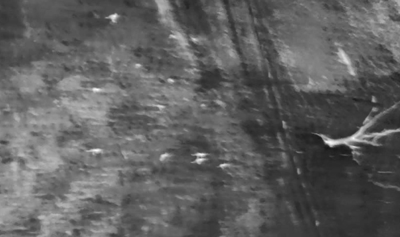
Thermal imaging – a first for South East kangaroo survey
For the first time in the Lower South East region, a helicopter mounted with thermal imaging cameras will take part in the Department for Environment and Water’s (DEW) annual kangaroo count.

The survey will include a helicopter flying at low-levels, along with ground-based observers, to count kangaroos in the South East between 30 May and 10 June.
DEW Senior Kangaroo Ecologist, Dr Amanda McLean, said by using thermal imaging technology the state’s aerial kangaroo survey will provide more valuable insights into kangaroo numbers, which will help inform harvest quotas across the state for the coming year.
“By using thermal imaging cameras, we can get a more accurate detection of animals that may be partially obscured by vegetation”, Dr McLean said.
“This will be particularly valuable in the South East where kangaroos are often living amongst many pine and blue gum plantations.”
DEW will also undertake an aeroplane based aerial survey between Monday 20 June and Friday 15 July to estimate kangaroo populations across the northern parts of South Australia.
Dr McLean said the northern aerial survey will also include the Gawler Ranges, Kingoonya, Marla-Oodnadatta, North East Pastoral, and Eastern Districts harvest sub-regions.
“The survey will allow the department to determine kangaroo response to the recent break of drought conditions over the pastoral lands, particularly as there have been significant falls of rain north of Glendambo and Kingoonya this year,” Dr McLean said.

