Sea change: what undersea researchers are looking for in our marine parks
18 Aug. 2015 3 min read
Four centuries ago, Dutch explorers in a sail-powered timber galleon surveyed the now iconic offshore island sanctuary zones in their natural condition – a maritime Garden of Eden. With the marine park sanctuary zones becoming operational in October 2014, work has begun to better understand and conserve these precious undersea treasure troves.
Off the coast of the South Australian town of Ceduna lies a group of islands named the Nuyts Archipelago, including the Isles of St Francis. Both Matthew Flinders and Nicolas Baudin explored the area over 200 years ago. Flinders named the archipelago after Pieter Nuyts of the Dutch East India Company who was here with Captain François Thijssen to make the earliest known maps of the region in 1626. Their ship Gulden Zeepaert translated means ‘Golden Seahorse’.
From the early days of European settlement the coastal areas became a focus for industries that included whaling stations on St Peter Island, Fowlers Bay and Streaky Bay.
Fast forward to this century, a marine parks team set out on a two-week research expedition this year to commence ecological monitoring of marine plant and animals and mapping of sea floor habitats, setting a baseline for future observation and monitoring. The expedition visited Isle of St Francis, Pearson Isles and Cape du Couedic sanctuary zones.
Sanctuary Zones Science Monitoring Expedition, March 2015
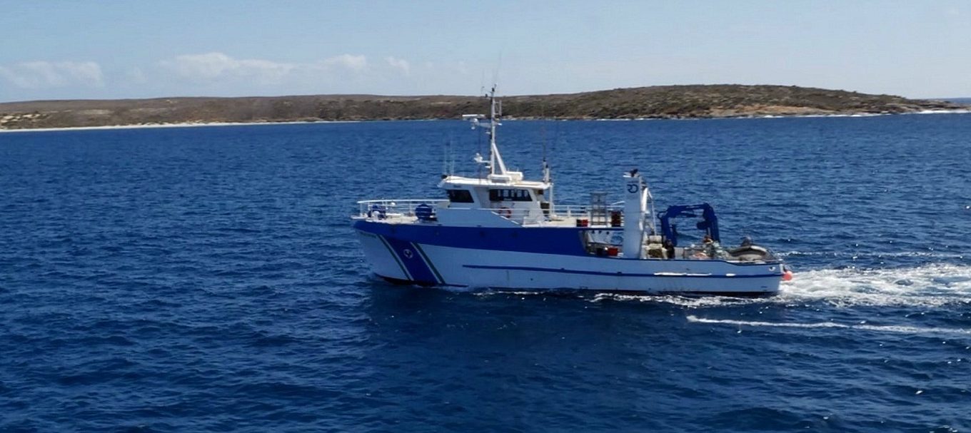
Aboard the vessel Ngerin, the crew used a number of methods to survey the marine parks, sending down divers to record the abundance and types of fish, invertebrates and algae in the reef systems, lowering baited remote video cameras to count and measure fish communities and using a state-of-the-art sonar mapping system called SWATH mapping to gather data about the sea floor. The digital maps provide much more detail than the hand-drawn navigation maps originally intended for mariners and traders.
In the coming years the data from this and other expeditions will be used to record and monitor any changes inside and outside sanctuary zones as they occur. It may take many years for change to be noticeable or significant.
‘What I’m expecting is that probably we will see the fish stocks change,' Marine Parks Regional Coordinator Dr Shelley Harrison said.
'Probably we’ll see bigger reef fish, because they are not being fished now. Probably we will see a change in the variety of fish that are here as well.'
Senior Ecologist, Danny Brock, was Team Leader for the two-week expedition.
‘The objective is to conserve and protect biodiversity,' he said. 'To assess that, we need a monitoring program that runs long term and compiles data on reefs and fish communities inside and out of the marine park sanctuary zones.'
‘It’s really a privilege being part of this conservation effort in establishing SA’s marine parks system. It’s one of the most significant initiatives in this state for the past 50 years.’
This week is National Science Week and a fitting time to feature our Marine Parks mapping and monitoring program – looking after SA’s unique marine environment for future generations.


